TeleCense
- Home
- TeleCense
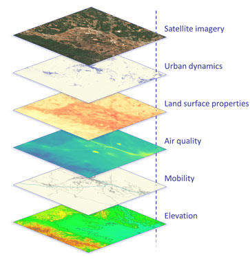
TeleCense leverages geospatial data by combining satellite imagery, artificial intelligence and demographic expertise to improve understanding of urban and territorial dynamics. It supports planning and decision-making in strategic sectors such as climate, urban development or health.
TeleCense stands out for its precise population estimation, integration of IoT and mobility data, 3D modeling and fusion of a variety of satellite data, offering a rich, multi-source geospatial perspective on territories.
TeleCense analyzes the links between populations, mobility and external factors such as living standards, healthcare access or pollution exposure. This geospatial approach helps decision-makers to develop targeted, effective strategies for public health and environment.
TeleCense analyzes the links between populations, mobility and external factors such as living standards, healthcare access or pollution exposure. This geospatial approach helps decision-makers to develop targeted, effective strategies for public health and environment.
Health infrastructure accessibility
Health infrastructure accessibility was assessed in order to identify underserved areas and better guide health planning decisions.
- 3D building characterization
- Population density
- Access time
- Risks in flood-prone areas


- Timor-Leste, Bhutan, Jordan


- Timor-Leste, Bhutan, Jordan
Air pollution monitoring
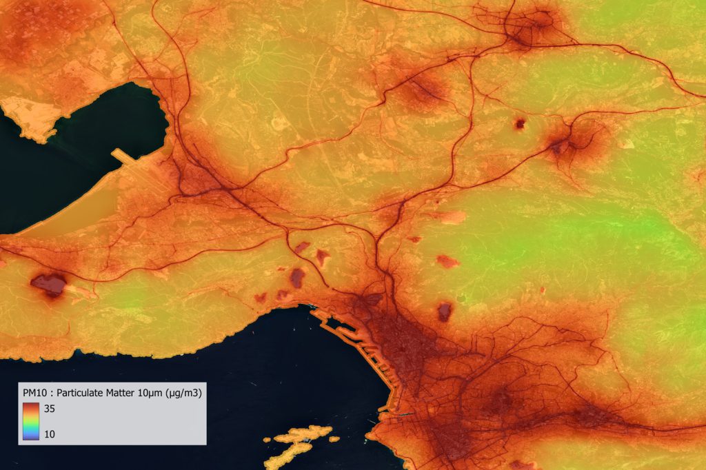
AirCrowd aims to overcome the lack of terrestrial data on air quality, observe its impact on health, raise awareness among local populations and promote public action.
- Daily air quality estimates
- Resolution enhancement
- Identification of pollutant sources


- France
Wildfire risk assessment
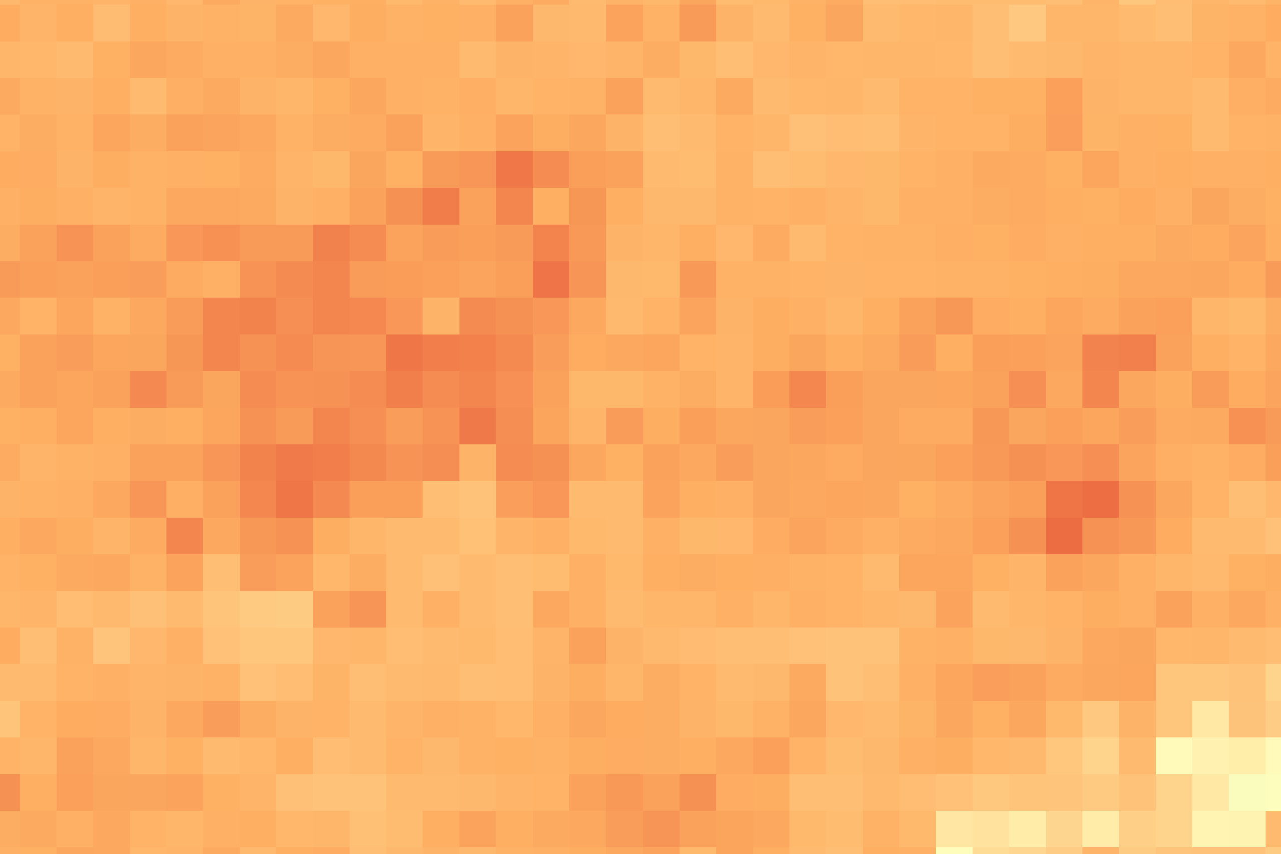
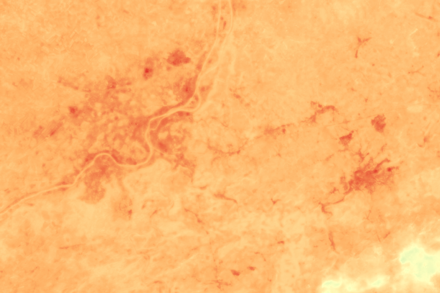
The SENWISE (ESA SUP) objective is to anticipate next-generation Sentinel satellite capabilities by simulating resolution-enhanced data for wildfire risk assessment.
- Resolution enhancement
- Land Surface Temperature monitoring
- Vegetation health assessment


- France - Italy - Belgium


- France - Italy - Belgium
Territories and climate
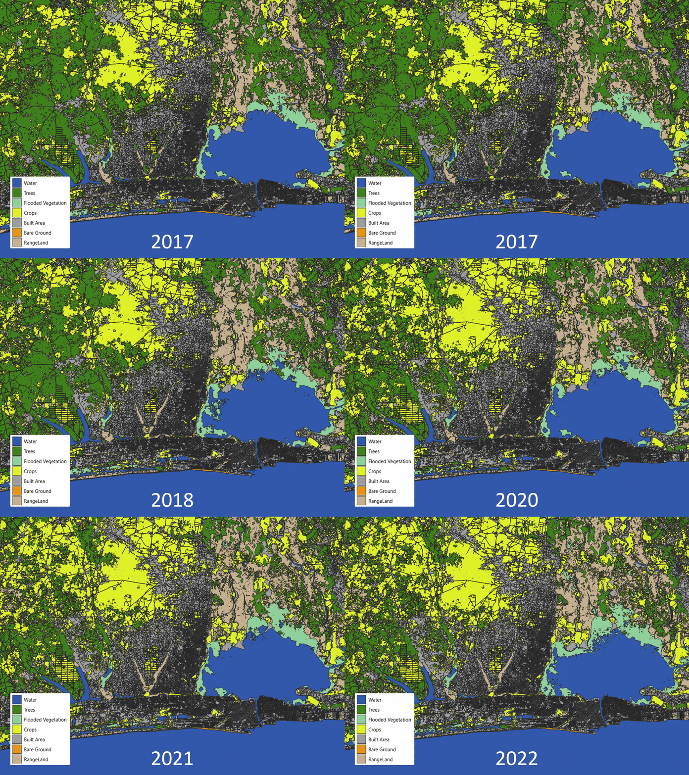
The project covers land-use planning, urban sprawl management, preservation of natural areas and flood risk assessment.
- Evolution of land use
- Flood zone mapping
- Infrastructure and population exposure


- Benin
TeleCense revolutionizes urban analysis by combining AI, demographics and multi-source data. It tracks the evolution of cities, optimizes planning and improves access to essential services (telecoms, energy, water, transport). A key tool for intelligent and sustainable urban planning.
TeleCense revolutionizes urban analysis by combining AI, demographics and multi-source data. It tracks the evolution of cities, optimizes planning and improves access to essential services (telecoms, energy, water, transport). A key tool for intelligent and sustainable urban planning.
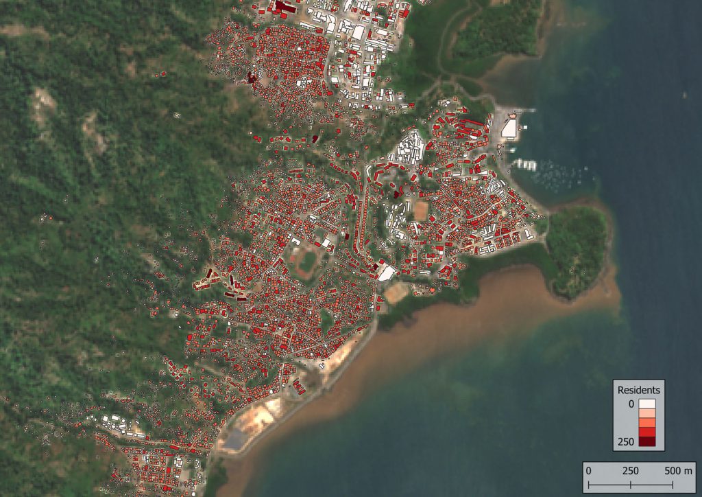
Demographic and socio-economic analysis
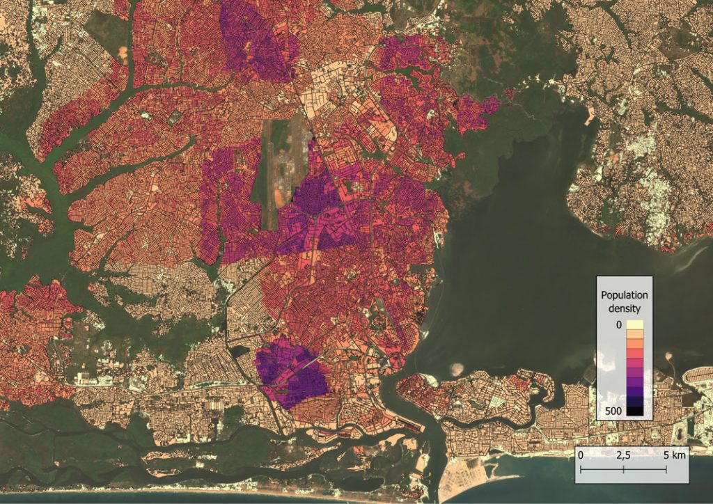
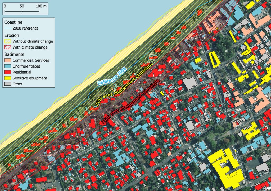
Spatialized demographic and socio-economic indicators have been generated to support territorial planning and assist in the identification of priority neighborhoods.
- Building footprint and height
- Demographic distribution
- Socio-economic indicators

- Mayotte, France
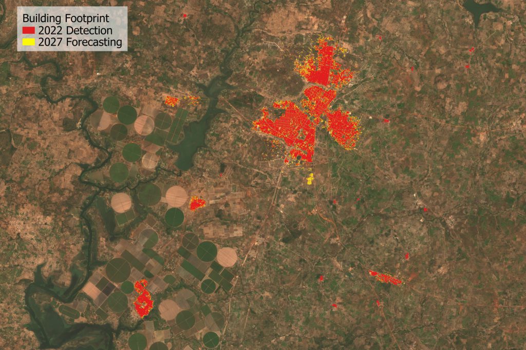
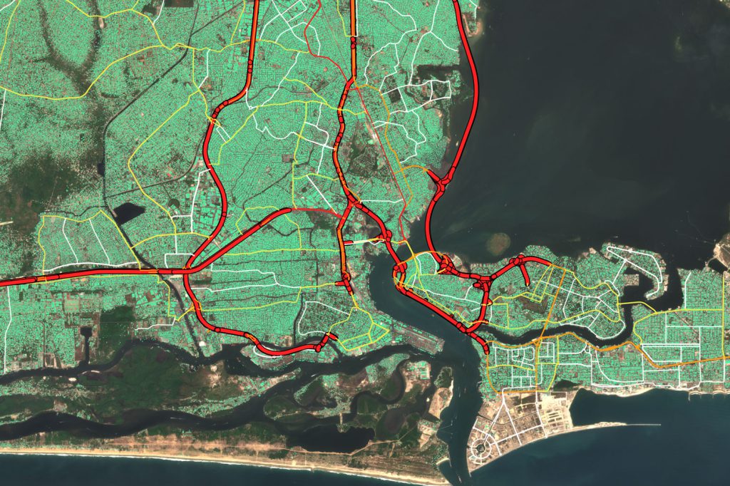
Supporting road network optimization
Population distribution and settlement sprawl were analyzed and forecasted to support the planning of a highway construction project.
- Urban sprawl
- Demographic trends and projections


- Ivory Coast
Research & Scientific Collaboration
TeleCense is engaged in a network of researchers, scientists and innovation experts committed to advancing the science of geospatial data.
In partnership with leading research institutions, we design advanced analysis methods, based on artificial intelligence, to meet complex challenges in specialized fields such as demography, air quality and climate risk modeling.
These partnerships, through doctoral theses and R&D projects, reinforce the scientific rigor of our solutions and support our shared ambition to innovate.

